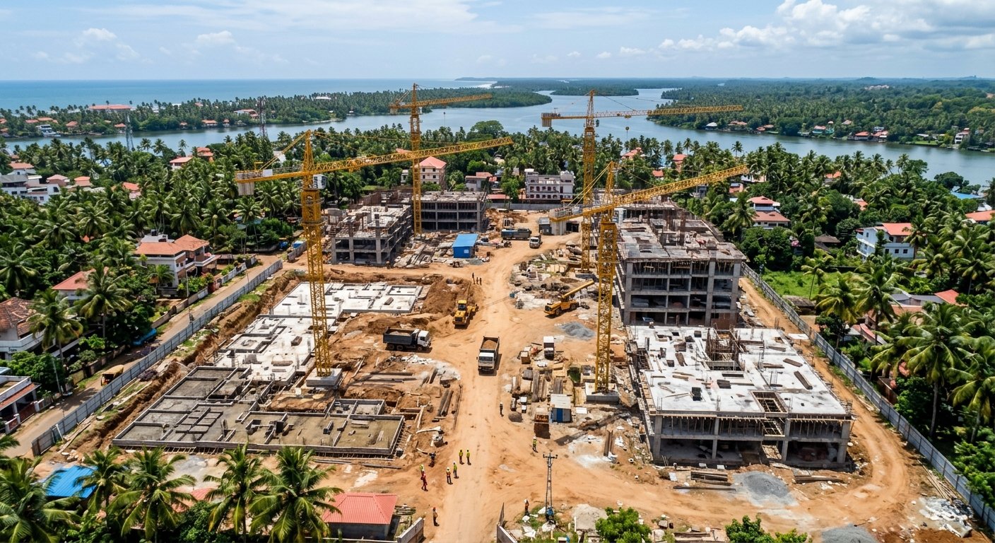
Construction Monitoring
Our drone-based construction monitoring services provide aerial views of your project site at different stages of development. Regular aerial documentation can help project teams monitor progress, identify visible site issues and maintain visual records for project reporting.
Enquire Now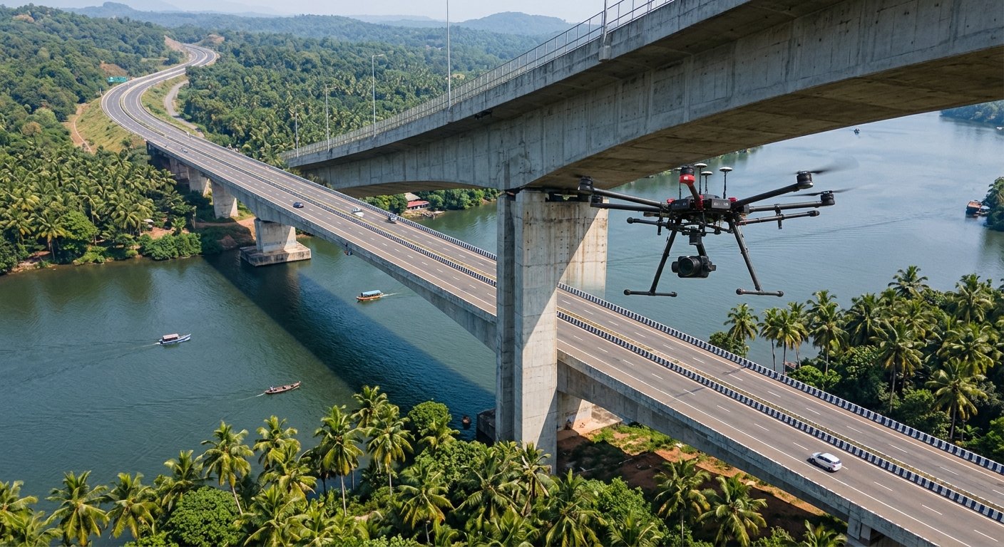
Infrastructure Inspection
Our drone inspection solutions can be used to capture detailed visual information of infrastructure that is difficult to inspect from ground level.
Enquire Now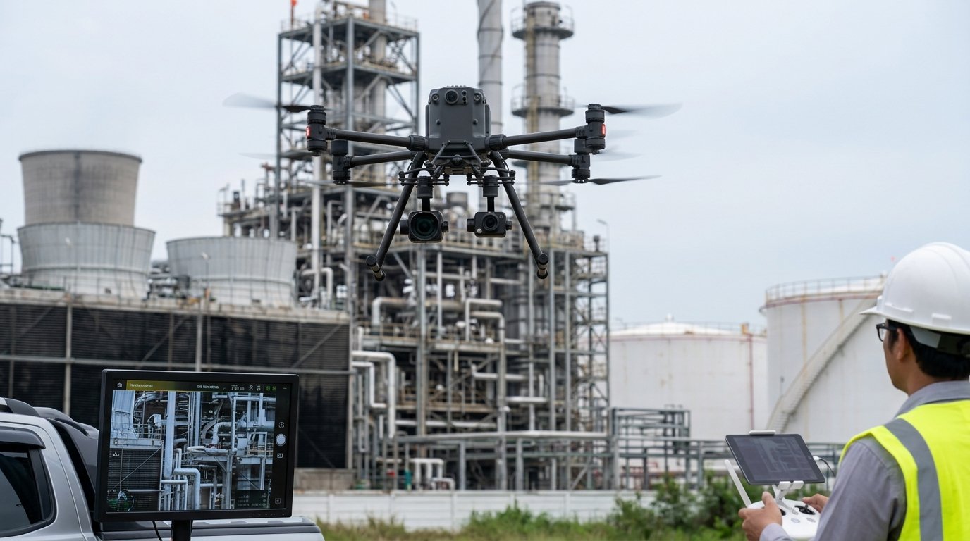
Industrial Inspections
Flywell Drones provides aerial inspection services for industrial environments where visual access can be challenging. High-resolution drone imagery can help teams examine structures, equipment and site conditions while reducing the need for unnecessary manual access.
Enquire Now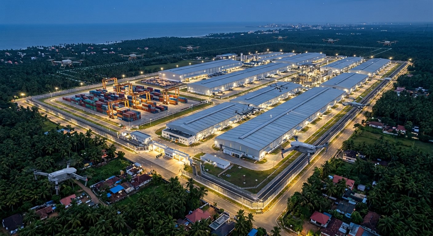
Industrial & Security Surveillance
Improve visibility across large industrial and commercial sites with aerial surveillance solutions. Drone-based surveillance can provide an elevated view of large areas, helping authorized teams observe site activity, perimeter areas and operational environments.
Enquire Now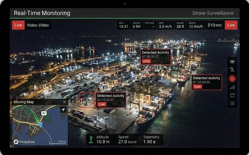
Real-Time Monitoring
When your project requires immediate aerial visibility, drone monitoring can provide a live perspective from above. Our solutions can support authorized project teams in monitoring large sites, ongoing operations and specific areas of interest.
Enquire Now
Aerial Imagery & Mapping
Capture detailed aerial imagery to better understand, document and visualize your project site. Our drone-based aerial imaging and mapping services can support construction, infrastructure, mining, industrial and land-development projects.
Enquire Now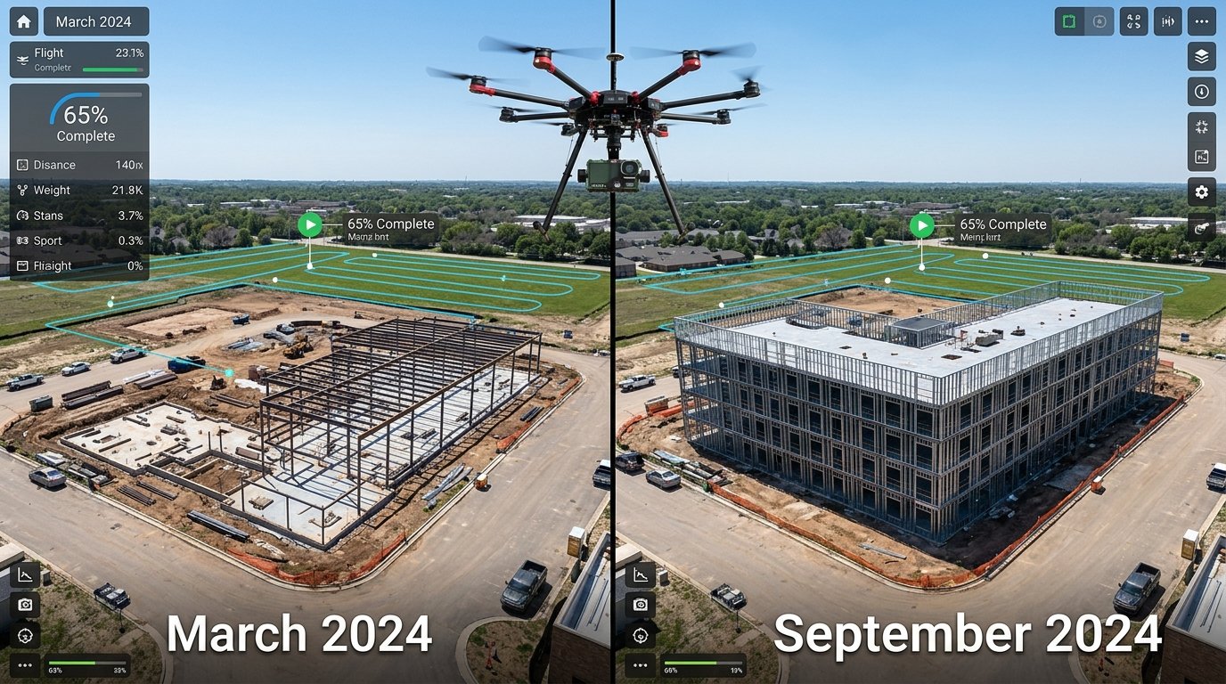
Project Progress Monitoring
Track your project visually from start to completion. Regular drone flights can create a visual timeline of your project, allowing teams to compare different stages of development and maintain organized aerial documentation.
Enquire Now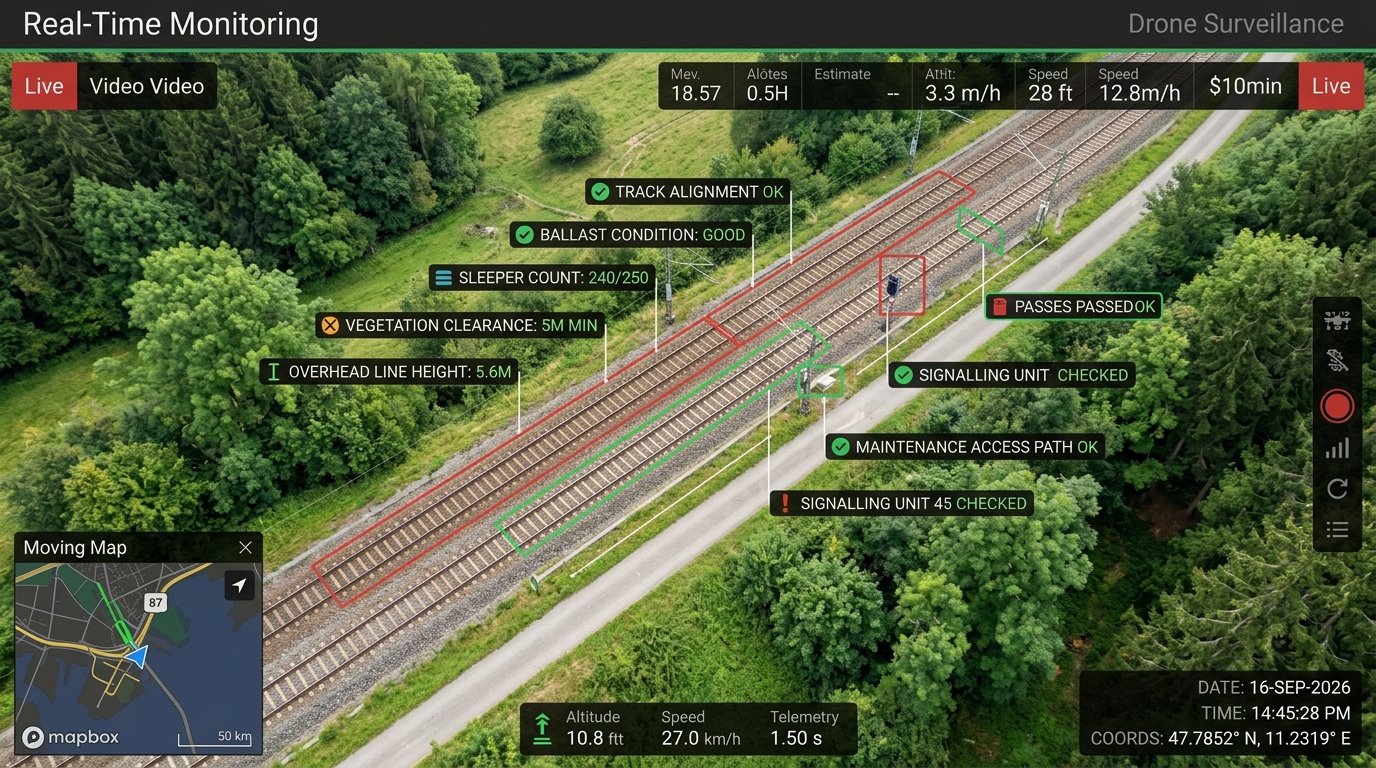
Railway Line Survey
Track your project visually from start to completion. Regular drone flights can create a visual timeline of your project, allowing teams to compare different stages of development and maintain organized aerial documentation.
Enquire Now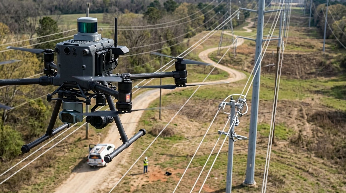
Electrical Lane Survey
Track your project visually from start to completion. Regular drone flights can create a visual timeline of your project, allowing teams to compare different stages of development and maintain organized aerial documentation.
Enquire Now