

DRONE SOLUTIONS FOR
Explore our high-quality drone survilance solutions designed to meet your every need.

ABOUT FLYWELL DRONES
At Flywell Drones, we use modern drone technology to help businesses see their projects, assets and sites from a better perspective.
Our drone-based solutions are designed for applications where traditional inspection and monitoring methods can be time-consuming, difficult or risky.
From construction progress monitoring and infrastructure inspections to industrial surveillance, aerial mapping and solar inspections, we capture detailed aerial data that helps our clients monitor, evaluate and manage their projects more effectively.
Whether you need a one-time aerial inspection or regular project monitoring, Flywell Drones provides practical drone solutions tailored to your requirements.
Our Services
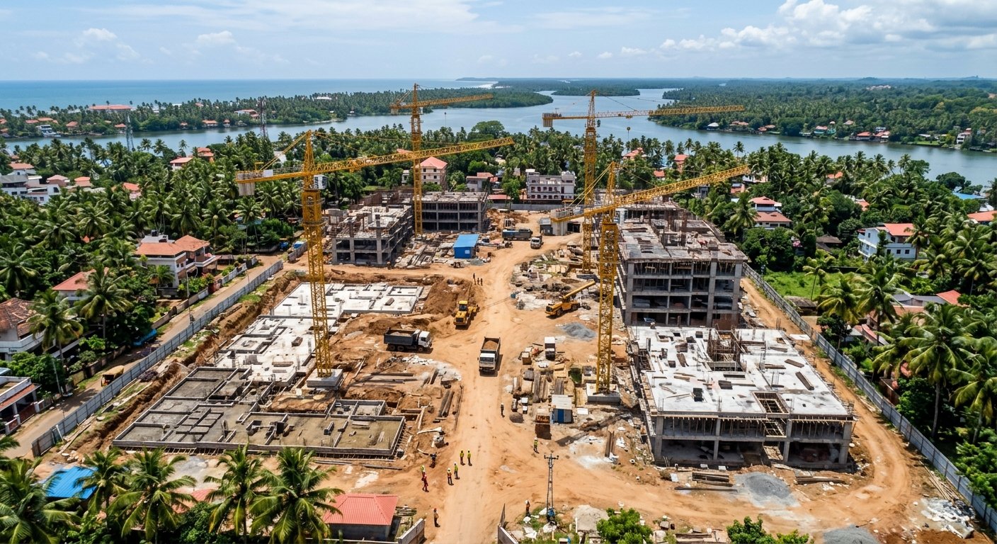
Construction Monitoring
Our drone-based construction monitoring services provide aerial views of your project site at different stages of development. Regular aerial documentation can help project teams monitor progress, identify visible site issues and maintain visual records for project reporting.
READ MORE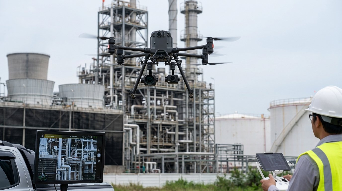
INDUSTRIAL INSPECTIONS
Flywell Drones provides aerial inspection services for industrial environments where visual access can be challenging. High-resolution drone imagery can help teams examine structures, equipment and site conditions while reducing the need for unnecessary manual access.
READ MORE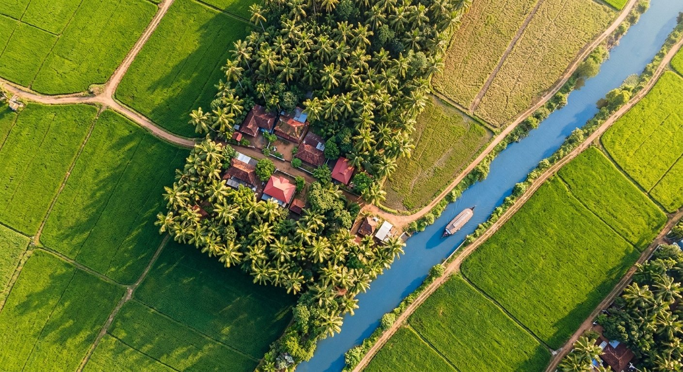
AERIAL IMAGERY & MAPPING
Capture detailed aerial imagery to better understand, document and visualize your project site. Our drone-based aerial imaging and mapping services can support construction, infrastructure, mining, industrial and land-development projects.
READ MOREWHY DRONE TECHNOLOGY?Why Use Drones for Inspection & Surveillance?
Better Site Visibility
Get a complete aerial view of large sites, projects and infrastructure.
Access Difficult Areas
Capture visual information from locations that may be difficult or risky to access manually.
Faster Monitoring
Monitor project progress and site conditions without relying only on ground-level inspections.
Detailed Aerial Data
Capture high-resolution imagery and aerial data for documentation, analysis and decision-making.